Literature Review #2
BENEATH THE NASCA LINES AND OTHER COASTAL GEOGLYPHS OF PERU AND CHILE: LITERATURE REVIEW
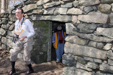
David Johnson pictured aboveFor my second literature review, I chose to focus on an excerpt from a book written by David Johnson, the chief researcher of an interdisciplinary team of geologists and archaeologists funded by National Geographic that tested his hypothesis to find underground water sources underneath the Nazcan plains. In this book titled Beneath The Nasca Lines and Other Coastal Geoglyphs of Peru and Chile, David Johnson discusses his research and discoveries into locating subterranean water sources in the arid desert of Peru. He investigates the correlation between other coastal geoglyphs and the ones found in Nazca along with 5 components that are consistently found when a new water source is discovered. Not only does Johnson survey the area and geography, he learned how to interpret the meaning of the lines (or "geoglyphs") so that they could be read like a 1:1 map of subterranean water sources.
David Johnson is the main case that I will be discussing in my research paper. He is a highly credible source who has investigated and collected data on subterranean water sources for years; he has also worked on a handful of projects around the world. Although he is only a teacher, his hypothesis and knowledge concerning the purpose of the Nazca Lines and the skills he adopted, allowed his theory to become one of the most compelling speculations to date.
Quotes:
"The geoglyphs mapped the groundwater resources of the desert" (Johnson 2).
"...the Nasca Lines consistently map the source and course of aquifers. Five components were consistently present at each location, as if part of an equation: faults, aquifers, fresh water sources, geoglyphs and archaeological sites" (Johnson 5).
"The geoglyphs were used to map aquifers from the mountains and across the coastal desert to where they intersect the valleys" (Johnson 6).
Some key terms I was able to identify and provide a definition for are listed below:
1. hydrology: the branch of science concerned with the properties of the earth's water, and especially its movement in relation to land.
2. geoglyphs: a large design or motif produced on the ground and typically formed by clastic rocks or similarly durable elements of the landscape, such as stones, stone fragments, gravel, or earth.
This book will be one of the most vital resources that I will utilize in my research paper. It provides concrete evidence to support my claims that Johnson's theory is in fact correct and that the lines are a 1:1 map of water resources. I will use this source to discuss his findings about puquios, geoglyphs, aquifers and other water systems that are believed to be connected to the lines as well as discuss the meanings behind each shape of the lines.
Citation:
Johnson, David. Beneath the Nasca Lines and Other Coastal Geoglyphs of Peru and Chile. United States, Global Learning, 2009.
Here's the link for the excerpt written by David Johnson ---> https://grahamhancock.com/johnsond1/


Comments
Post a Comment